
How to Get to Wrangell-St. Elias National Park: Roads, Shuttles, Air Travel, and Access Points

Planning a trip to Wrangell-St. Elias and not sure how to get there? Wondering what the best transportation options are? We’ve explored this massive park several times, and we know how confusing access can be. That’s why we created this detailed guide covering all the ways to enter—by road, shuttle, or air taxi. You’ll find practical tips for every access point, so you can plan the route that works best for your adventure.
This article may contain affiliate / compensated links. For full information, please see our disclaimer here.
Getting to Wrangell-St. Elias: What We’ve Learned from Multiple Trips
Planning a trip to Wrangell-St. Elias National Park takes more than just picking a spot on the map. This park is remote, rugged, and over 13 million acres in size. It stretches from glaciers and peaks to coastal wilderness. It’s bigger than Yellowstone, Yosemite, and Switzerland combined.
This guide breaks down all the main access points. You’ll find clear info about McCarthy Road, Nabesna Road, Copper Center, and even Yakutat. We include driving tips, road conditions, shuttle services, and flight options. We also share details about backcountry access for more remote adventures.

You’ll learn what’s best for driving, hiking, flightseeing, or backpacking. You’ll see which entry fits your plans, timeline, and comfort level. Every section gives you what you need to plan your route with confidence.
We’ve visited Wrangell-St. Elias several times, using different routes to explore its vast landscape. We’ve driven both the McCarthy Road and Nabesna Road. Each way brought a different kind of experience. McCarthy Road felt like an adventure—bumpy and scenic. Nabesna was quieter, with peaceful views and almost no crowds.
But even with these visits, we’re not calling ourselves experts—this park is just too big, too wild. Many areas are still on our bucket list, waiting for the right time and preparation. We respect the scale and remoteness of this place deeply. That’s why we do our best to gather up-to-date, helpful information—so you can plan your own safe and unforgettable adventure into Wrangell-St. Elias.
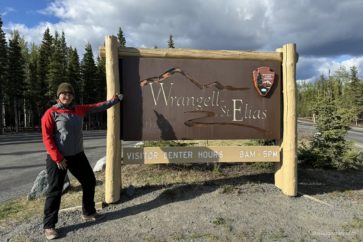

Overview of Main Access Points to Wrangell-St. Elias
Wrangell-St. Elias doesn’t have one main entrance like many Alaska national parks. Instead, there are several ways to get in—each leading to a very different part of the park. Some are accessible by car, others only by air. A few take you deep into the backcountry.
Here are the main entry areas:
McCarthy–Kennicott Area
This is the most popular access point. It’s the gateway to the historic mining towns of McCarthy and Kennicott. You’ll drive the scenic but rough McCarthy Road from Chitina, then walk or shuttle into town.
From here, you can hike, tour the old Kennecott Copper Mill, or explore Root Glacier. It’s a great choice for first-time visitors who want both history and adventure.

Nabesna Road Area
Located in the northern part of the park, this is the quietest road-access entry. Nabesna Road leads into wild country with mountain views and hiking trails. It’s less traveled, but beautiful and peaceful. You’ll need to be prepared for remote conditions. This area is ideal for those seeking solitude and off-the-beaten-path experiences.
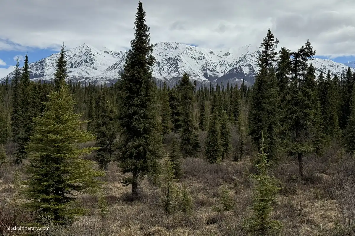
Copper Center Area
This is home to the park’s main visitor center. It’s a good first stop for maps, information, and road updates. From here, you can access the Richardson Highway and continue toward either McCarthy or Nabesna. It’s not a direct entrance into the heart of the park, but it’s a key orientation point.
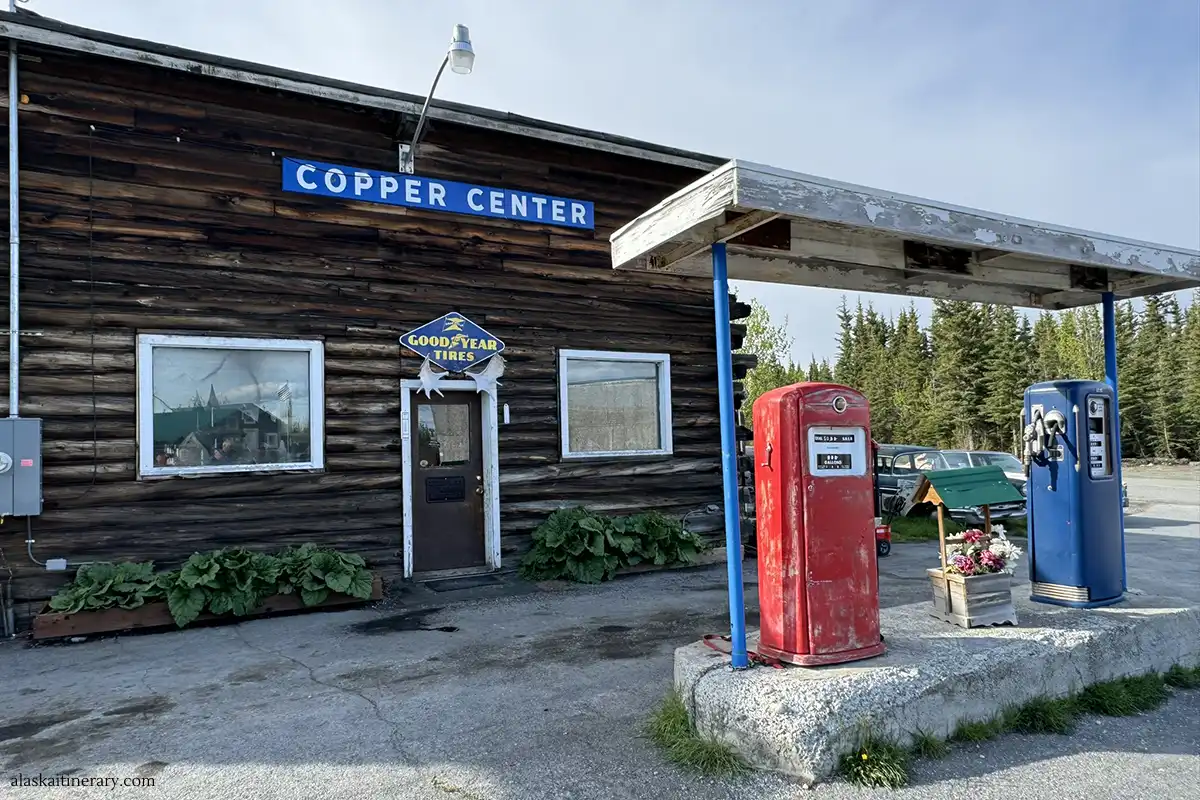
Yakutat Coastal Access
This small town sits on the Gulf of Alaska and borders the park’s southern edge. It’s reachable by plane or ferry. From Yakutat, you can explore remote coastlines, glaciers (with the biggest Hubbard Glacier), and wilderness areas. This route is best for experienced travelers planning a guided expedition or fly-in adventure. It’s close to Glacier Bay National Park.
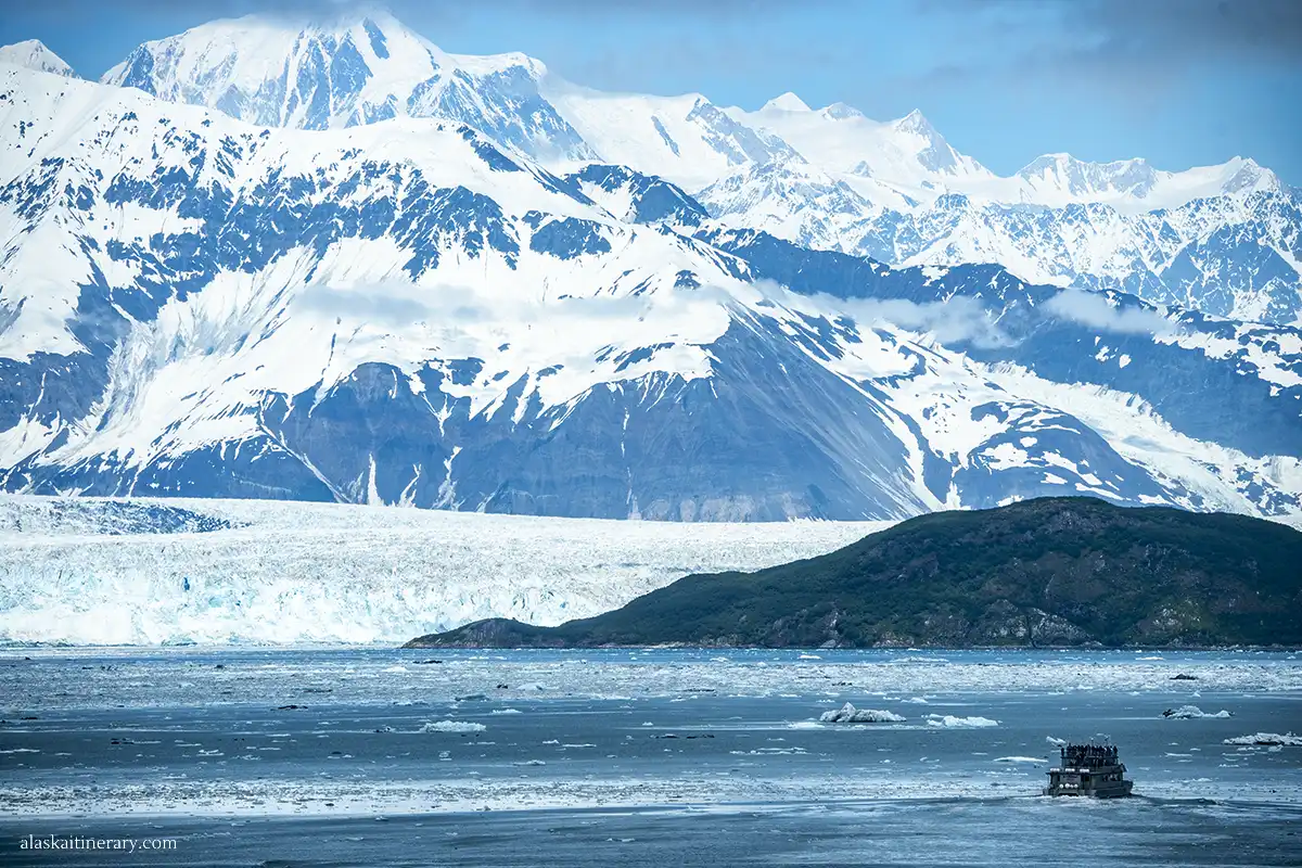
Backcountry Entry Options
Wrangell-St. Elias is a land of glaciers, peaks, and endless wild terrain. Some visitors skip roads entirely and fly straight into the backcountry. Air taxis and charter flights can drop you at remote spots for hiking, paddling, or climbing. These routes require planning, permits, and full self-sufficiency.
Each of these access points leads to a different experience. Some are better for driving. Others are better for flying in or heading deep into the wilderness. In the next sections, we’ll break down each one in detail to help you choose the right way in.
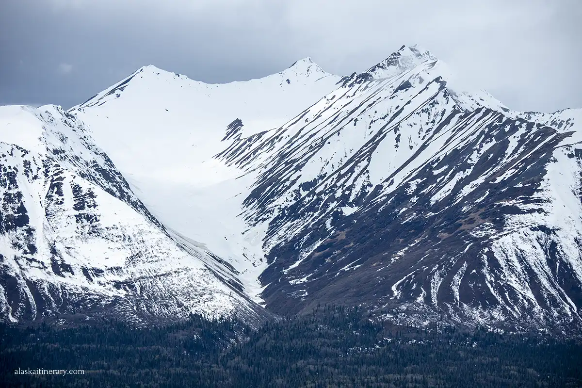
Driving to Wrangell-St. Elias: Road Access Explained
You can get to Wrangell-St. Elias National Park using two main gravel roads: McCarthy Road and Nabesna Road. Each takes you into a different part of the park. Both are remote, unpaved, and can be rough—so planning ahead is essential.
McCarthy Road
This 60-mile gravel road begins in Chitina and ends near the Kennicott River. It’s the most used driving route into the park. The road follows an old railroad bed. You’ll see trestles, rivers, and mountain views along the way.
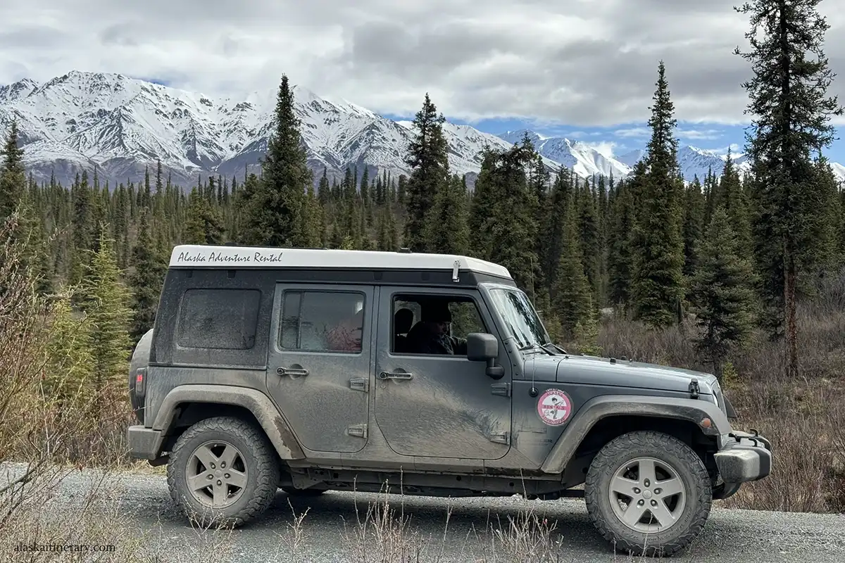
Expect potholes, dust, and slow speeds. Flat tires are possible. Cell service is limited or non-existent. Most rental car companies do not allow driving this road. A few local companies do—so always check the terms.
At the end of McCarthy Road, you’ll park your car and walk across a footbridge. From there, you can walk or take a shuttle to McCarthy and Kennicott. This route is popular because it leads to the historic mill, Root Glacier, and great hiking trails.
Agnes’ Advice: We’ve prepared a full guide to McCarthy Road with mile-by-mile stops, tips, and safety info.

Nabesna Road
This 42-mile gravel road is located in the park’s northern region. It starts at mile 60 of the Tok Cut-Off Highway, near Slana. Nabesna Road is less traveled and much quieter than McCarthy Road.
It offers views of the Wrangell Mountains, access to trailheads, and chances to see wildlife. Some side roads and creek crossings may be impassable during heavy rain or snowmelt. High-clearance vehicles are recommended. Like McCarthy Road, rental restrictions often apply.
In our experience, Nabesna Road is easier to drive than McCarthy Road, and the scenery is less dramatic. The views are more modest, and most hiking trails lead through forested areas. It’s a good option for travelers seeking solitude and a quiet connection with nature.
The Slana Ranger Station, located just before Nabesna Road, is a great starting point for your adventure. It offers information about the park’s northern side and the Nabesna Road. It’s open daily from mid-May to mid-September, 9 a.m. to 5 p.m.
Agnes’ Advice: We have prepared a detailed guide to Nabesna Road, so read it please, before you go.
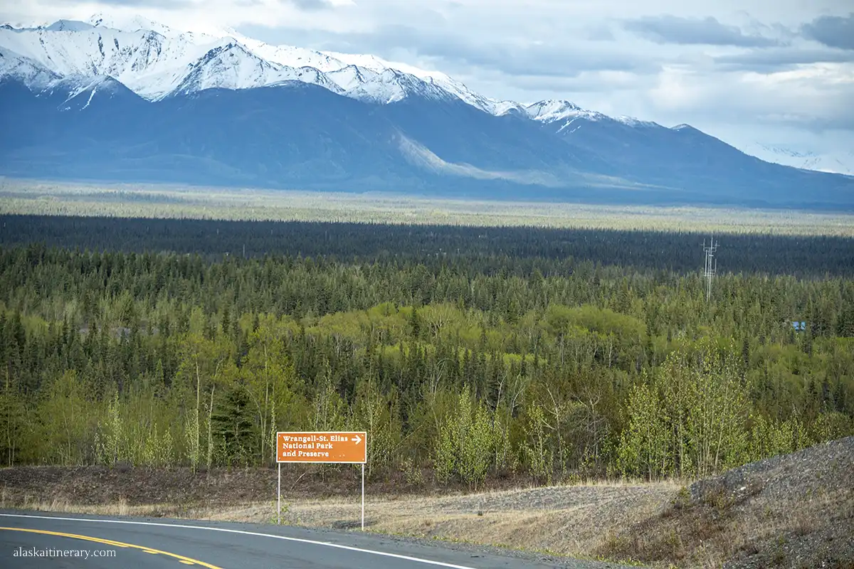
Road Conditions and Vehicles
Both roads are maintained by the state, but they’re not paved. Expect bumps, soft shoulders, and some washboard. Travel slowly and carry a spare tire.
In summer, road crews may grade the roads, but conditions change fast after rain. You don’t need a 4WD vehicle for dry conditions, but high clearance helps.
Tips for Driving These Roads
- Fill up your gas tank before entering either road.
- Bring water, snacks, a spare tire, and a jack.
- Download offline maps before leaving cell coverage.
- Travel slowly—help may be hours away.
- Don’t rely on GPS for travel times. Always check recent conditions.
Shuttle Services to McCarthy–Kennicott
Several shuttle services operate routes from Anchorage, Glennallen, and Chitina to McCarthy, providing alternatives to driving the challenging McCarthy Road.
Kennicott Shuttle
The Kennicott Shuttle offers transportation from Glennallen to McCarthy and Kennicott, passing through Copper Center and Chitina. The shuttle departs Glennallen at 7:00 am, arriving at the McCarthy Road’s end around 11:00 am. Return trips depart McCarthy at 4:30 pm, reaching Glennallen by 8:00 pm. Reservations are required. Rates for 2025 are as follows:
Glennallen/Copper Center to McCarthy:
- Round Trip (Same Day): $139 per person
- Round Trip (Different Day): $169 per person
- One Way: $109 per person
Willow Lake/Tonsina to McCarthy:
- Round Trip (Same Day): $119 per person
- Round Trip (Different Day): $149 per person
- One Way: $99 per person
Copper Spike Transport
The Copper Spike Transport offers direct shuttle services from Anchorage, Valdez, and Glennallen to McCarthy.
- The Anchorage to McCarthy (or Mccarthy to Anchorage) route is priced at $225 per person, with a minimum of two passengers required.
- The Valdez to McCarthy (or McCarthy to Valdez) is $200 per person, with minimum of 2 passengers required for booking.
- The Glennallen to McCarthy (or McCarthy to Glennallen) route costs $100 per person under similar conditions.
Groups of six or more receive a 10% discount.
Overflow Transit
The Overflow Transit provides scheduled shuttle services between Anchorage and McCarthy. Departures from Anchorage are on Mondays and Fridays, with returns from McCarthy to Anchorage on Sundays and Thursdays. Thay leave Anchorage at 9am and arrive at the McCarthy footbridge at approximately 6pm. The price is $225 per person.
The Anchorage to Chitina leg is $175 per person, and Chitina to McCarthy varies between $75 and $100, depending on the day. The total journey from Anchorage takes approximately 8 hours, including stops. They also offer a shuttle between Valdez and McCarthy for $250 per person.

Local Transportation in McCarthy and Kennicott
Upon arrival at the McCarthy Road footbridge, local shuttle services facilitate movement between McCarthy and Kennicott:
Kennicott Glacier Lodge Shuttle: Provides complimentary transportation for guests from the footbridge to Kennicott on the hour from noon to 8:00 pm.
Copper Town Shuttle: Operates hourly between the footbridge and McCarthy, starting at 8:45 am, with services extending to Kennicott upon request. Schedules may vary; it’s advisable to confirm current timings. There’s also a shuttle from McCarthy town to the Kennecott Copper Mine, leaving right from the town’s only grocery store—don’t worry, you can’t miss it. Her is this store on the picture.

Air Transportation to McCarthy
For those preferring to bypass the lengthy road journey, air services offer quick access to McCarthy. Wrangell Mountain Air operates daily flights between Chitina and McCarthy from May 15 to September 15.
One-way fares are $215 per person, with round trips at $430. Each passenger is allowed 25 lbs of soft luggage; additional baggage may require purchasing an extra seat. Weather permitting, flights include a scenic tour over the Kennicott Valley glaciers.

Reaching Copper Center and the Park’s Main Visitor Center
Reaching the Wrangell-St. Elias Visitor Center in Copper Center is a straightforward drive from several major Alaskan cities. Located at Mile 106.8 on the Richardson Highway (AK-4), this visitor center serves as the primary gateway to the park.
The visitor center operates seasonally. Typically open from mid-May to mid-September, daily from 9:00 am to 5:00 pm.
Agnes’ Advice: Check out our detailed article: Copper Center – where to stay and what to do.

The Wrangell-St. Elias Visitor Center offers a range of amenities to enhance your visit:
- Exhibit Hall: Explore displays detailing the park’s geology, wildlife, and cultural history.
- Theater: Watch informative films about the park’s unique features and ecosystems.
- Park Store: Purchase maps, guidebooks, and souvenirs to commemorate your trip.
- Restrooms: Clean and accessible facilities are available for visitors.
- Picnic Areas: Enjoy outdoor meals at provided tables and shelters.
- Ahtna Cultural Center: Gain insights into the heritage of the Ahtna people, the indigenous inhabitants of the region.
- Hiking Trails: Short trails offer scenic views of the Wrangell Mountains and the Copper River.
We recommend stopping at the visitor center, especially if you plan to explore remote areas or head into the backcountry.

Yakutat: The Coastal Gateway to Wrangell-St. Elias
Yakutat is a small, remote town on Alaska’s Gulf Coast. It sits near the southern edge of Wrangell-St. Elias National Park. This is the only coastal access point into the park. It’s ideal for experienced travelers, photographers, and adventurers seeking wild, uncrowded areas.
How to Get to Yakutat
You can’t drive to Yakutat. It’s accessible only by air or water.
- By Plane: Alaska Airlines offers year-round flights to Yakutat. Planes fly in from Juneau, Cordova, and Anchorage. Summer has more frequent service.
Flight time from Anchorage is about 1 hour and 45 minutes. From Juneau, it’s about 1 hour. - By Ferry: The Alaska Marine Highway System runs ferries to Yakutat. Service is limited and seasonal. Check schedules in advance. Ferries connect Yakutat with towns like Juneau, Cordova, and Whittier.
What You’ll Find in Yakutat
Yakutat is quiet, scenic, and deeply rooted in Alaska Native culture. It has a small airport, a grocery store, a few lodges, and basic services. Don’t expect major tourist infrastructure.
The town is surrounded by rainforest, mountains, and coastline. It offers access to glaciers, wildlife, and tidewater bays. One of the most famous sights nearby is Hubbard Glacier—one of the largest tidewater glaciers in North America.

Accessing the Park from Yakutat
The park’s southern boundary lies just east of Yakutat. There are no roads into this part of the park. You’ll need to book a charter flight or guided expedition.
Floatplanes and boats can take you into remote areas like the Malaspina Glacier, Icy Bay, or the Seal River area. Most travelers arrange these trips through local outfitters or air taxi services.
Who This Route Is For
Yakutat access is best for those with experience in remote travel. It’s a good choice for:
- Photographers and filmmakers
- Wildlife researchers
- Sea kayakers or packrafters
- Guided expedition groups
- Visitors seeking glacier landings or ocean-based drop-offs
You’ll need to be self-sufficient or book with a guide. Cell service is very limited, and rescue help is far away. Always carry communication gear and file a trip plan if heading into the wilderness.
Yakutat Quick Tips
- There’s one gas station and one general store.
- Lodging is limited—book early.
- No car rentals available. Most visitors explore with guides.
- Weather changes fast—come prepared for rain, wind, and fog.
- This area is part of Tlingit ancestral lands. Please be respectful.
Yakutat isn’t for everyone, but if you’re looking for raw coastal wilderness, it offers one of the most untouched ways to enter Wrangell-St. Elias.

Backcountry and Wilderness Access
Wrangell-St. Elias is a true backcountry park. Over 90% of it is designated wilderness. There are no roads in most of the park. If you want to explore deep into the mountains, glaciers, or valleys, you’ll need to hike or fly in.
This park is for those who are well-prepared, self-reliant, and comfortable in remote places.
Fly-In Backcountry Access
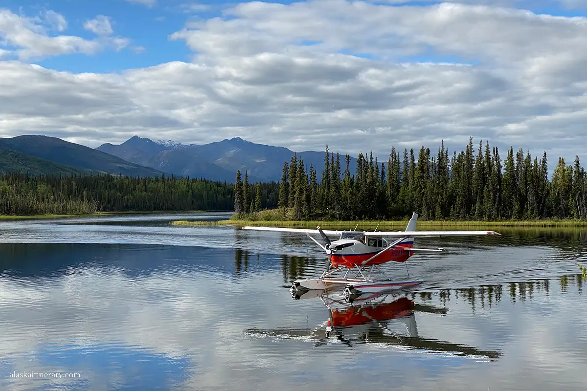
Small bush planes are the best way to reach the park’s interior. These planes can land on gravel bars, tundra, glaciers, or remote strips.
You can arrange:
- Drop-off flights to remote locations
- Guided fly-in trips with outfitters
- Point-to-point trips where you fly in and hike or packraft out
Most flights leave from Chitina, McCarthy, or Glennallen. Some also operate from Tok or Yakutat.
Common fly-in destinations include:
- Iceberg Lake
- Skolai Pass
- Nizina Glacier
- Chisana
- Upper Kennicott Glacier
Flights depend on weather. Always have backup days in your plan.
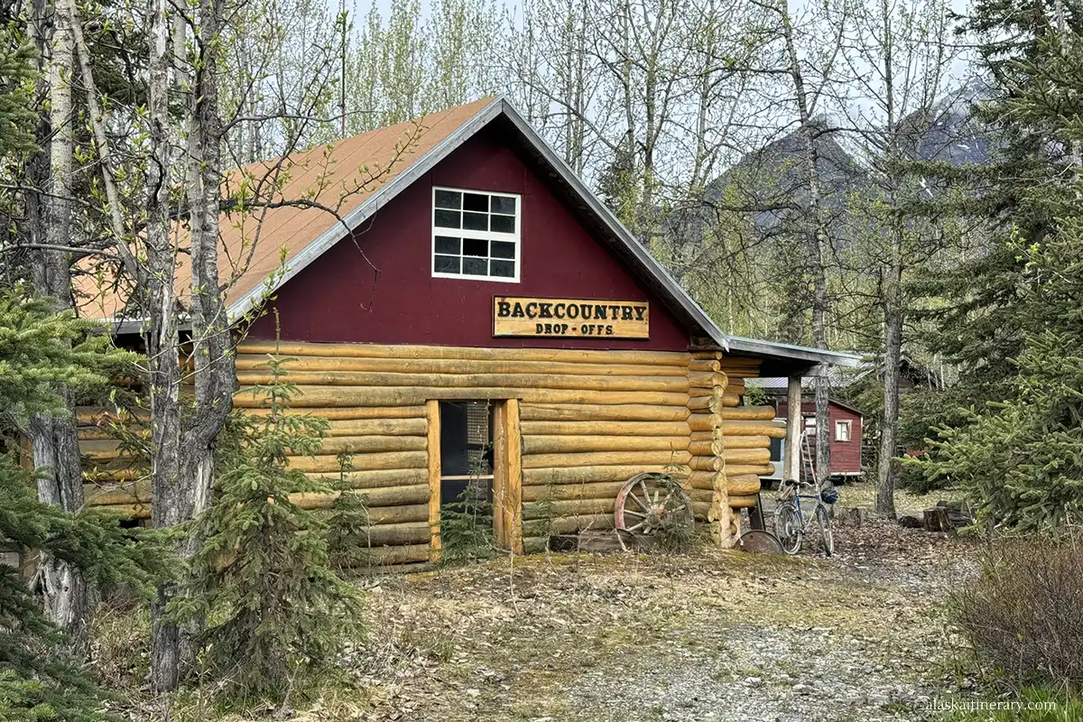
Backpacking and Hiking Routes
There are no maintained trails deep in the backcountry. You’ll follow game trails, glacier paths, or old mining routes. You’ll cross rivers, glaciers, and tundra.
Popular wilderness hikes:
- Skolai Pass to Wolverine (multi-day, alpine route)
- Chisana to Nabesna (historic route through the mountains)
- Iceberg Lake basecamp and day hikes
- Nizina to McCarthy packraft route
You must be prepared for:
- No cell service
- No trail markers
- River crossings
- Glacier travel (sometimes with crampons or rope)
- Bear country navigation
Guided Expeditions
If you’re new to backcountry Alaska, hire a guide. Many local companies offer multi-day hikes, glacier treks, and rafting trips.
Guides provide:
- Safety training
- Gear
- Group support
- Knowledge of terrain and wildlife
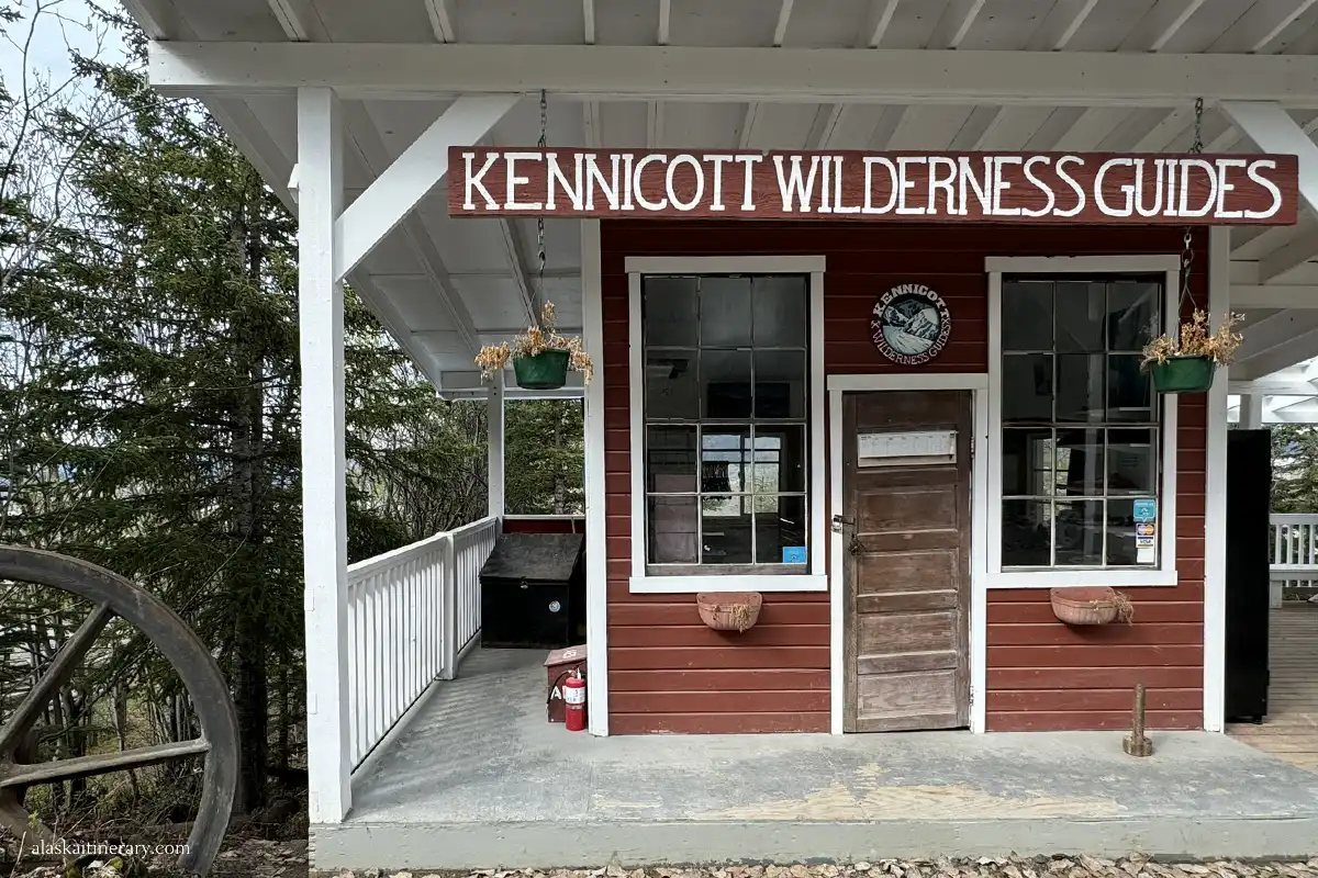
Some companies offering wilderness trips in Wrangell-St. Elias:
Permits and Wilderness Rules
You don’t need a permit for most backcountry trips. But you do need to sign in at a ranger station or by phone if you plan overnight travel in remote zones.
Always:
- Leave no trace
- Use bear-proof food storage (check out our bear safety tips)
- Carry a satellite messenger or GPS
- Share your plan with someone
Important Safety Notes
- Bring maps, compass, GPS
- Watch for weather changes
- Pack extra food
- Be ready to turn back if rivers rise
- Be realistic about your skills and fitness
Backcountry is Rewarding—But Serious
The wilderness here is unmatched. You’ll find solitude, beauty, and challenge. But it’s not the place to learn basic backpacking. Come prepared or go with a guide.
Flying In: Air Taxi & Charter Flights to Remote Areas
Flying into Wrangell-St. Elias is the fastest way to reach the heart of the park. It’s also the only way to access some of the most remote and wild areas. Small planes serve as the main link between the outside world and the interior of the park.
Main Air Access Points
You can fly into Wrangell-St. Elias from several towns in Alaska. The most common flights depart from:
- Chitina
- Glennallen
- Anchorage
From these locations, you can fly into:
- McCarthy or Kennicott
- May Creek
- Yakutat
- Remote backcountry landing strips or glacier zones
These flights are operated by small, local companies. They use bush planes, often landing on gravel bars, grass strips, or even glaciers. Flights are weather dependent. Always have backup plans.
Flights to McCarthy and Kennicott
The most popular flight route is from Chitina to McCarthy. Wrangell Mountain Air runs daily flights in summer (May to mid-September). The flight takes about 30 minutes and offers amazing views of rivers and mountains.
- One-way: Around $215 per person
- Round-trip: Around $430 per person
- Luggage limit: 25 pounds per person (soft-sided bags only)
- Extra baggage may require buying an extra seat.
You’ll land just outside McCarthy and can walk or shuttle into town or up to Kennicott.
Charter Flights from Anchorage or Glennallen
You can also book custom charter flights from Anchorage or Glennallen. These are more expensive but offer direct access to remote areas or private drop-offs.
Prices vary by location, plane type, and group size. Expect to pay anywhere from $800 to $2,000+ for private charters. These are ideal for guided trips, basecamps, or backpacking routes deep in the park.
Flights into May Creek or Yakutat
May Creek is a small airstrip near McCarthy. It’s used mostly for private cabins or remote stays. Yakutat, on the other hand, is a coastal village served by Alaska Airlines and small charters. From Yakutat, you can fly into the park’s southern coastal region or arrange boat access.
Scenic Flights and Tour Options
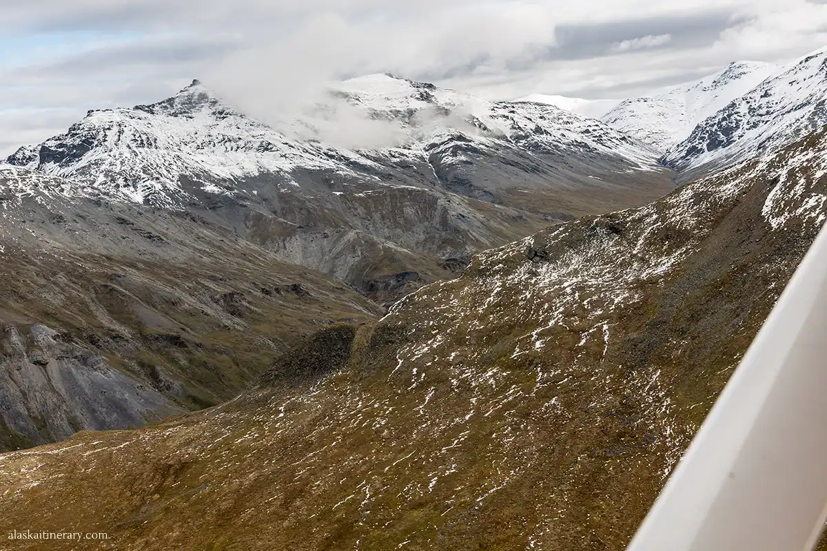
Many flight operators also offer scenic flights. These flights don’t just take you in—they show you the park from above. You’ll see glaciers, icefields, and volcanic peaks. Tours range from 30 minutes to 2 hours.
- Prices for scenic flights:
- Short flights: $200–$350 per person
- Longer glacier or mountain tours: $400–$600 per person
Some companies also combine scenic tours with remote drop-offs for hiking, climbing, or packrafting trips.
Recommended Air Taxi Companies Who Operate Wrangell-St.Elias National Park
- Wrangell Mountain Air (based in McCarthy/Chitina)
- Copper Valley Air Service (based in Glennallen)
- Tok Air Service
- Alaska Airlines (to Yakutat only)
Which Access Point Is Right for You?
How to get to Wrangell-St.Elias National Park? Which acces is right for you? It depends on your goals, experience, and how you want to travel. Each access point offers something different—some are easier, some more remote. Here’s how to choose the best one for your trip.
Choose McCarthy–Kennicott if…
- You want history, hiking, and glacier views
- You enjoy scenic drives and don’t mind gravel roads
- You want to tour the Kennecott copper mill
- You’re looking for a base for guided glacier hikes
- You prefer an area with shuttles, lodging, and dining options
This is the most visited part of the park. Great for first-timers and photographers. If you’re wondering how to get to Wrangell St. Elias National Park on a budget, choose a shuttle to McCarthy and explore that area.
Choose Nabesna Road if…
- You want solitude and fewer people
- You’re comfortable driving remote gravel roads
- You enjoy peaceful hikes through forests and open tundra
- You have a high-clearance vehicle or plan short hikes
- You don’t need services like food or gas nearby
This area is wild and quiet. It’s best for travelers who enjoy being far from crowds.
Choose Copper Center if…
- You want to start with maps and trail info
- You want to talk with rangers or get permits
- You’re passing through on a road trip
- You’re just beginning to explore Wrangell-St. Elias
This is a great stop for planning, learning, and asking questions before heading deeper into the park.
Choose Yakutat if…
- You want coastal wilderness and glacier views
- You plan to fly in or arrive by ferry
- You’re experienced with remote travel or going with a guide
- You want to photograph Hubbard Glacier or explore via boat or floatplane
Yakutat is for seasoned adventurers. There are no roads from here into the park—only air or water access.
Choose Backcountry Fly-In if…
- You want to backpack or packraft in remote areas
- You’re planning a guided expedition
- You have experience in off-trail navigation and river crossings
- You want to avoid long drives and go straight to the wild
Flying in gives you access to untouched areas. But it requires planning, gear, and backup plans in case of weather delays.
Still Not Sure? Consider These Questions:
- Do you want to hike, drive, or fly?
- Are you looking for services, or do you prefer remote spots?
- Do you have limited time, or can you spend several days?
- Are you traveling solo or with others?
- What kind of vehicle will you have?
There’s no single “best” way in. It depends on your comfort level and interests. Some visitors even combine routes—driving one road and flying back out.
Take time to match your entry point to your trip style. It makes a huge difference in how you experience the park.

Final Thoughts: How To Get To Wrangell-St.Elias National Park
How to get to Wrangell-St. Elias National Park is one of the first—and most important—questions to ask when planning your trip. This park is massive, remote, and unlike most other U.S. national parks. There’s no main entrance gate, and no easy loop to drive.
You can get there by road, by shuttle, or by air. Some routes lead to historic towns like McCarthy and Kennicott. Others take you down quiet gravel roads or drop you straight into remote backcountry. Each option offers something different, and choosing the right one depends on your travel style.
Do you want to hike a glacier? Explore old mining sites? Fly over icefields? Or just escape the crowds for a while? Your answer will guide your route.
Plan ahead. Check current road conditions. Reserve shuttles or flights early. Make sure you bring everything you need—services are limited, and help is far away.
Whether you start your adventure at the visitor center in Copper Center, take the McCarthy Road, or fly into the mountains, Wrangell-St. Elias is unforgettable. Use this guide to pick the access point that fits your plans—and get ready to experience one of Alaska’s wildest places.
Do You Like It? Pin It For Later!


