Nabesna Road Guide: Essential Tips, Best Stops, Must-See Sights

Looking for a quiet, off-the-beaten-path drive in Alaska? Want to explore Wrangell-St. Elias National Park away from crowds? Nabesna Road is one of the most remote and scenic drives in the state. It’s less traveled than the famous McCarthy Road, but it’s just as rewarding—especially if you enjoy peaceful landscapes, wildlife, and the freedom to explore. This detailed guide covers everything you need to know about Nabesna Road. You’ll learn how to prepare, what kind of vehicle you need, and what to expect. We’ll show you where to stop, where to camp, and which trails are worth your time. We also include tips from our own trips, plus up-to-date facts and practical advice.
This article may contain affiliate / compensated links. For full information, please see our disclaimer here.
Introduction to Nabesna Road
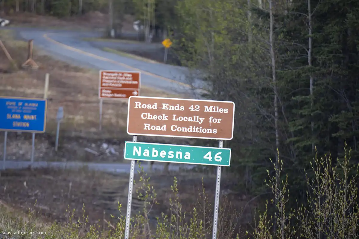
Nabesna Road is one of only two roads that go into Wrangell-St. Elias National Park. It starts near the small town of Slana, off the Tok Cut-Off Highway (AK-1), and stretches about 42 miles east into the park. This road is unpaved, remote, and often overlooked—but it’s full of quiet beauty.
You won’t find crowds here. It’s a peaceful place. Mountains, tundra, forest, and rivers surround you. The further you drive, the wilder it gets.
Nabesna Road was originally built in the 1930s. It connected the Nabesna Gold Mine to the outside world. Today, it’s open to the public and offers access to hiking trails, scenic pullouts, and primitive campsites. There are no towns, gas stations, or stores along the road. It’s just you, the land, and the road ahead.
Unlike McCarthy Road, there’s no shuttle service. There’s also much less traffic. That makes it perfect for travelers who want a quiet, self-guided adventure. But it also means you need to be well prepared.
In this guide, you’ll find everything you need to know before driving Nabesna Road. We’ll share practical tips, mile-by-mile highlights, best stops, hikes, campsites, and more. Chris and I driven this road ourselves and updated this guide based on firsthand experience and current information.
This road may be less famous—but if you’re ready for remote Alaska, Nabesna Road delivers a truly wild and unforgettable journey.
Agnes’ Advice: Plan a trip to other parts of Wrangell-St.Elias? Check out:
How to Get to Wrangell-St. Elias National Park: Roads, Shuttles, Air Travel, and Access Points
Guide to McCarthy Road
Best Things to Do in McCarthy
Hiking the Root Glacier
Kennecott Copper Mine
Things to do in Copper Center (perfect base before hitting this road).
Below is Nabesna Road Map, from Slana Ranger Station.

Preparing for the Journey
Nabesna Road is remote. There are no services once you leave Slana. No gas, no stores, no restaurants. Cell service is limited or nonexistent. That’s why preparing well is essential, as there are only two roads leading into Wrangell–St. Elias—the largest of Alaska’s national parks and the largest national park in the entire U.S. system.
Vehicle Tips
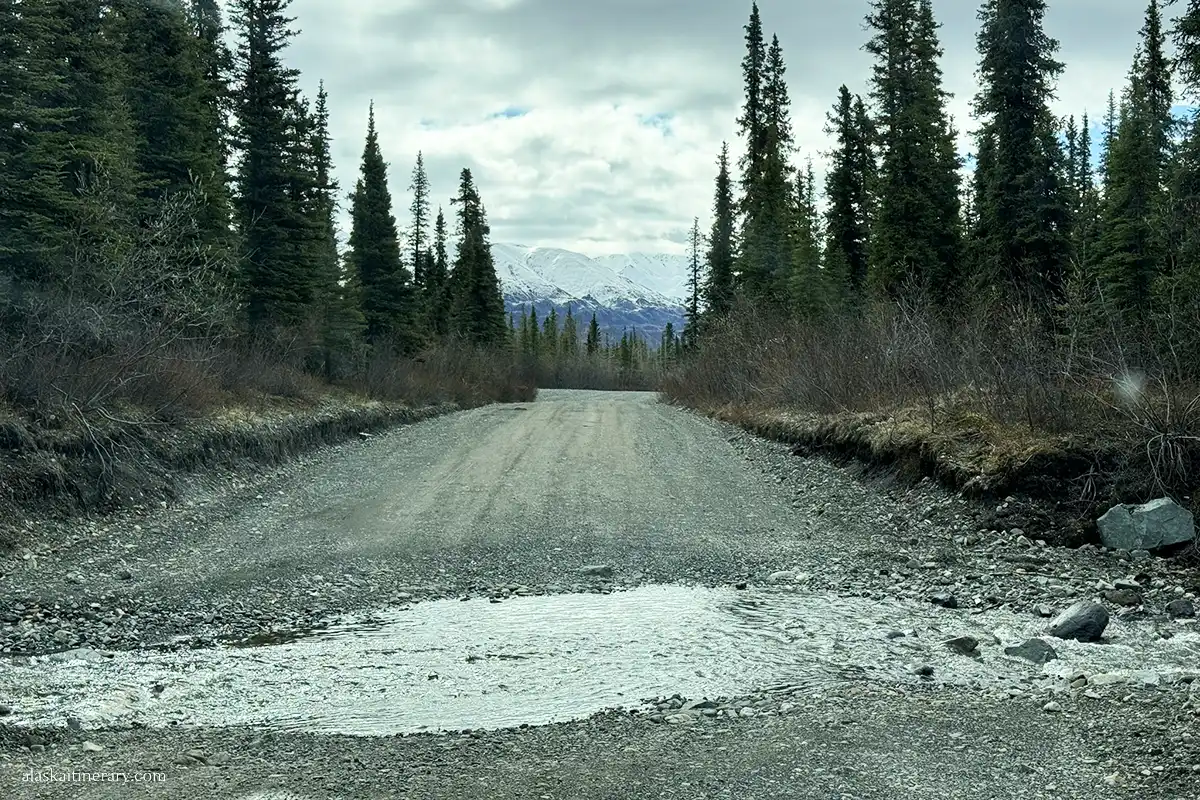
You don’t need a 4WD to drive Nabesna Road, but a high-clearance vehicle is highly recommended. In dry conditions, most of the road is passable. But after rain, some creek crossings can be deep or muddy.
Check your rental agreement. Many major companies do not allow driving on gravel roads. Look for local rentals in Anchorage, Tok, or Glennallen that allow it.
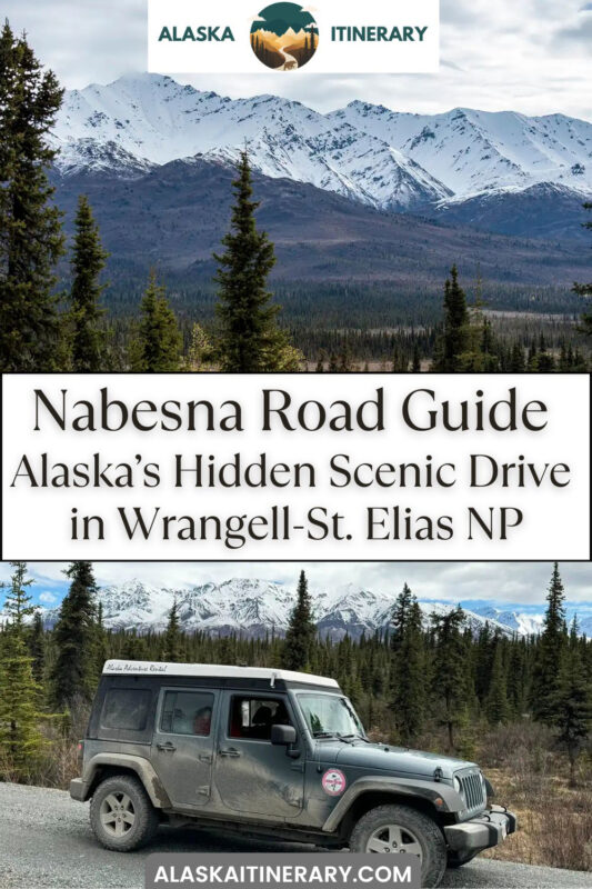
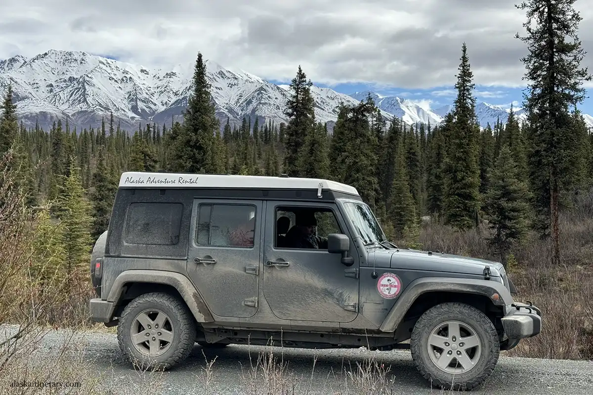
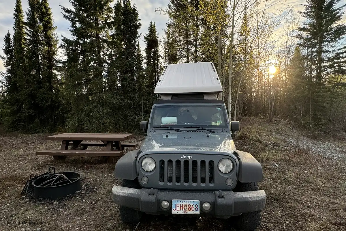
We’ve had great experiences with two local Alaska rental companies that allow driving on gravel roads: Alaska Adventure Car and Camper Van Rental—the Jeep Wrangler in our photos came from them—and Alaska Auto Rental, which we used for our Dalton Highway trip. Be sure to check out our tips for renting a car in Alaska for more helpful info.
Road Conditions
The road is gravel and dirt. It’s usually rough, especially after heavy rain. The first 15 miles are in better shape. The final stretch, beyond Mile 29, is often muddy and may have washouts. The National Park Service posts current road conditions online and at the Slana Ranger Station. Always check before you go.
What to Bring
- Full tank of gas (no gas stations past Slana). Fill up in Glennallen (76 miles south), Chistochina (28 miles south, but keep in mind that Posty’s Trading post is not open 24 hours), or in Tok (64 miles north).
- Spare tire and jack
- Water and food for the day
- Bug spray and sunscreen
- Paper map or offline GPS
- Bear spray (you’re in bear country; check out our article: Alaska bear safety tips)
- Extra layers and rain gear
- A satellite communicator (optional but helpful)
- Check out our detailed Alaska packing list for summer adventures.
Restrooms and Water
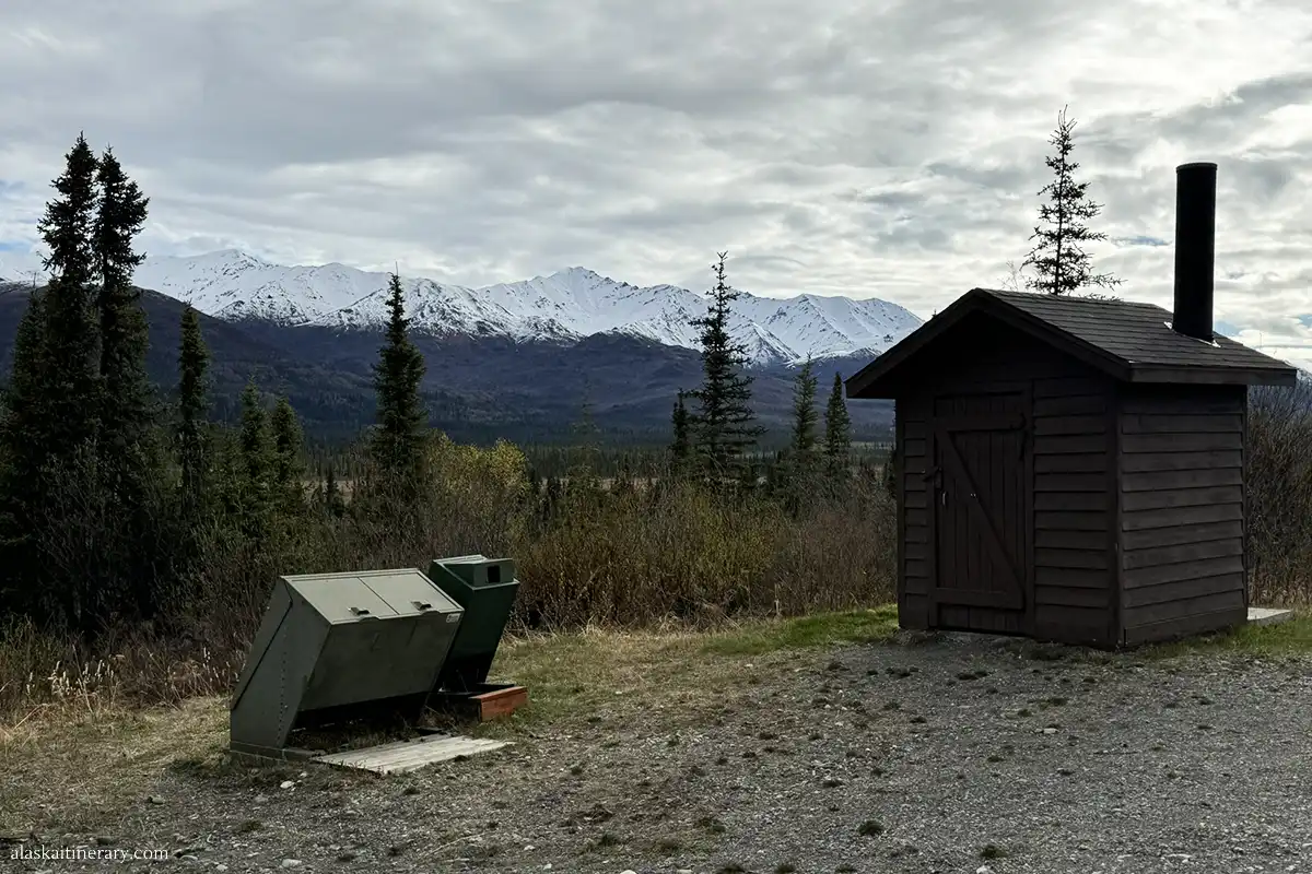
There are a few pit toilets along the road, but no drinking water sources. Bring plenty of water with you.
Travel Tips
- Drive slowly. Expect potholes and loose gravel.
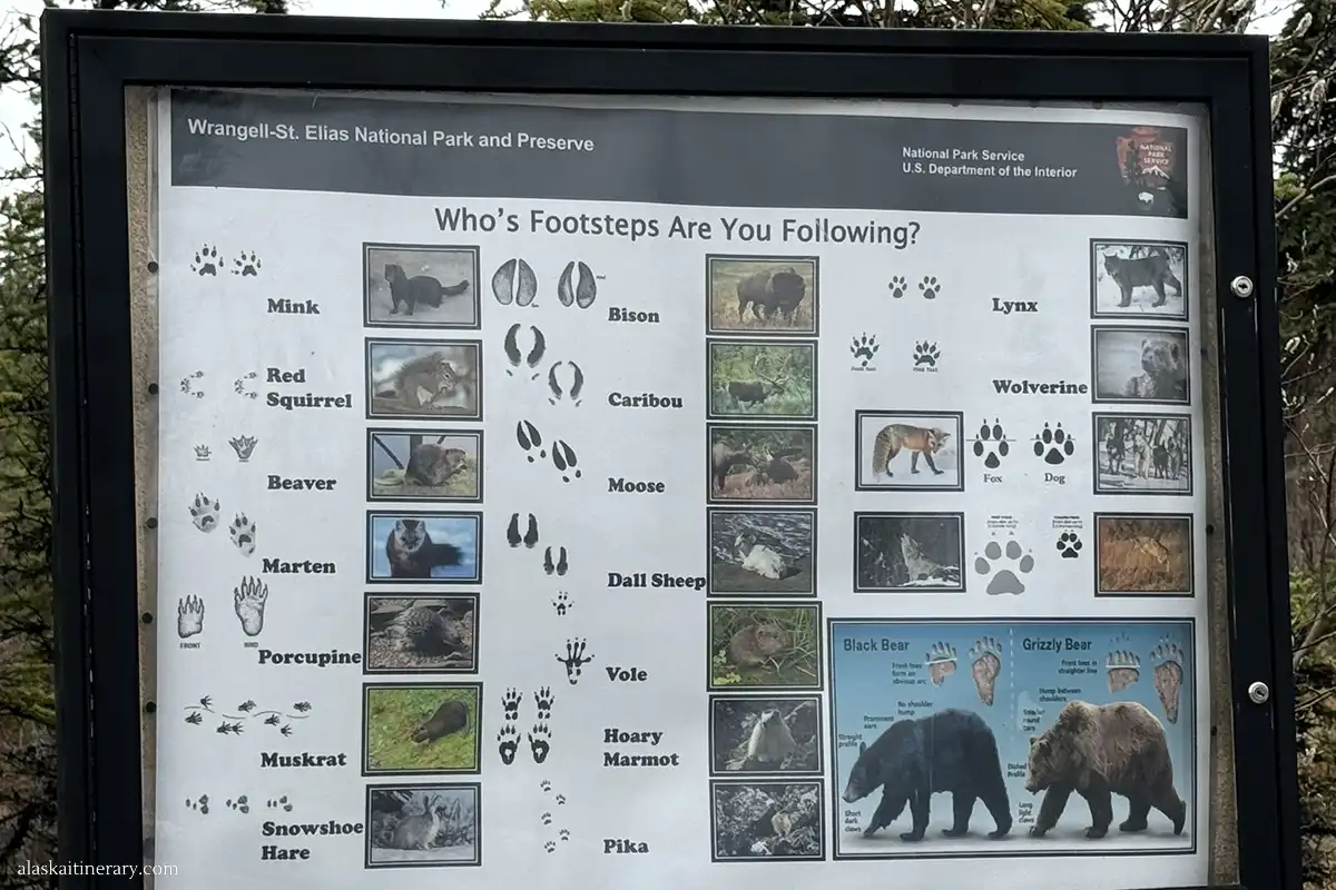
- Watch for wildlife. Moose, bears, and foxes are common.
- Pull over safely for photos or breaks.
- Avoid driving after heavy rain. Some creek crossings may be impassable.
This road is beautiful but remote. Prepare like you’re heading into backcountry—because in many ways, you are. With the right gear and a little planning, you’ll be ready for an unforgettable drive through one of Alaska’s wildest places.
Navigating Nabesna Road
Nabesna Road begins at Mile 60 of the Tok Cut-Off (AK-1), near the small town of Slana. It stretches 42 miles into Wrangell-St. Elias National Park. The road ends near the old Nabesna Mine, deep in the wilderness.
Here’s a detailed mile-by-mile guide with the best stops and what to expect along the way.

Top Spots Along The Way
- Mile 0 – Slana Ranger Station. Get the latest road conditions, weather updates, maps, and bear safety tips. The station is open from mid-May to mid-September, daily from 9 a.m. to 5 p.m.
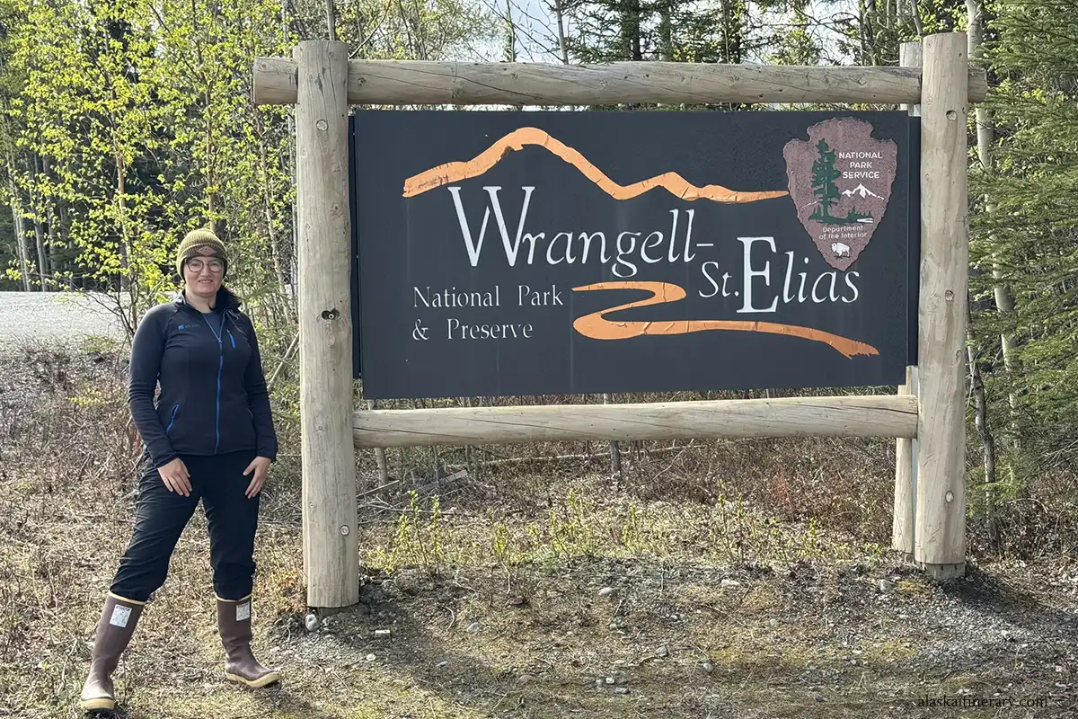
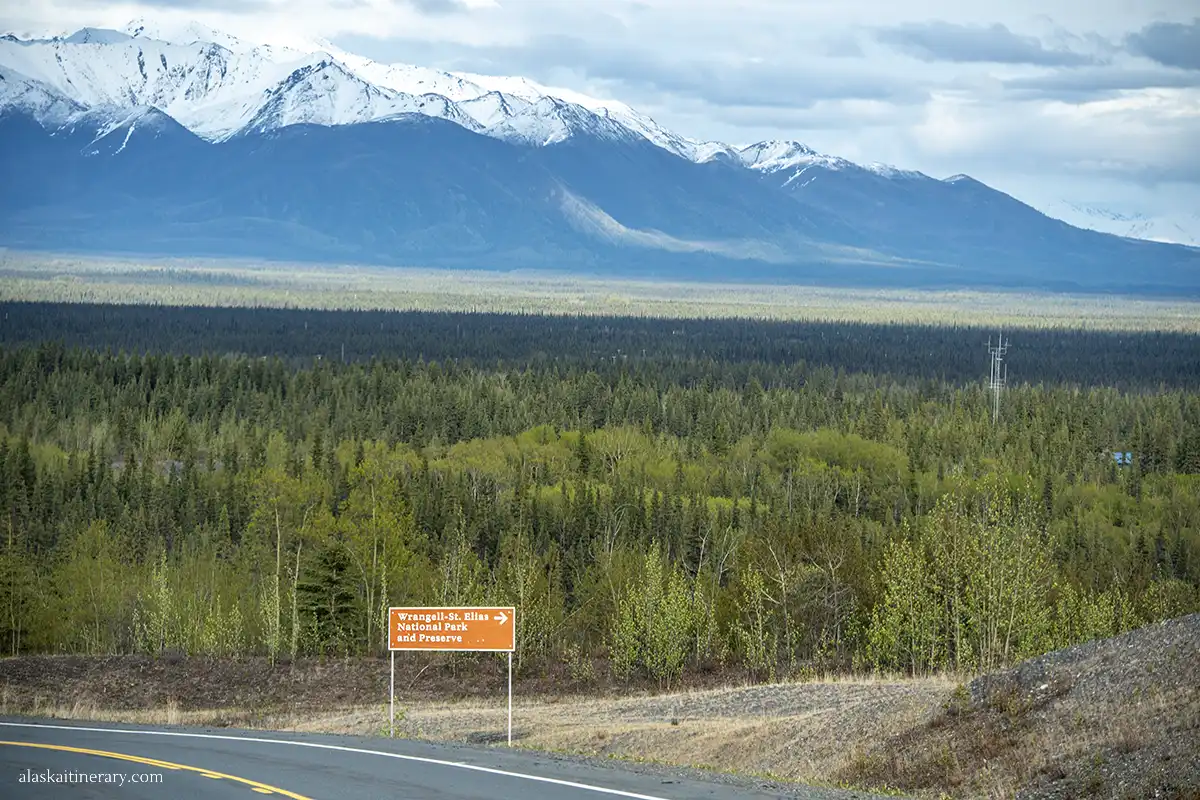
- Mile 1 – Park Entrance Sign. A great photo stop.
- Mile 4 – Caribou Creek Trailhead. This short, steep trail leads to scenic views and is good for spotting wildlife. Parking is available.
- Mile 6 – Rufus Creek Pullout. A small pullout with views of the valley and surrounding peaks.
- Mile 16 – Trail Creek. This is the first of three creek crossings. Conditions vary. In dry weather, most cars can cross. After rain, it may be risky.
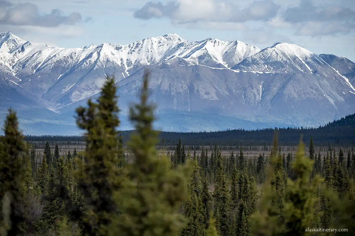
- Mile 17 – Dead Dog Hill. You’ll climb a steep hill with open views of the Wrangell Mountains. Pull over at the top for photos.
- Mile 18 – Twin Lakes Trailhead and Campsite. A peaceful spot for a break, picnic, or short walk. Primitive camping allowed. No water or services.
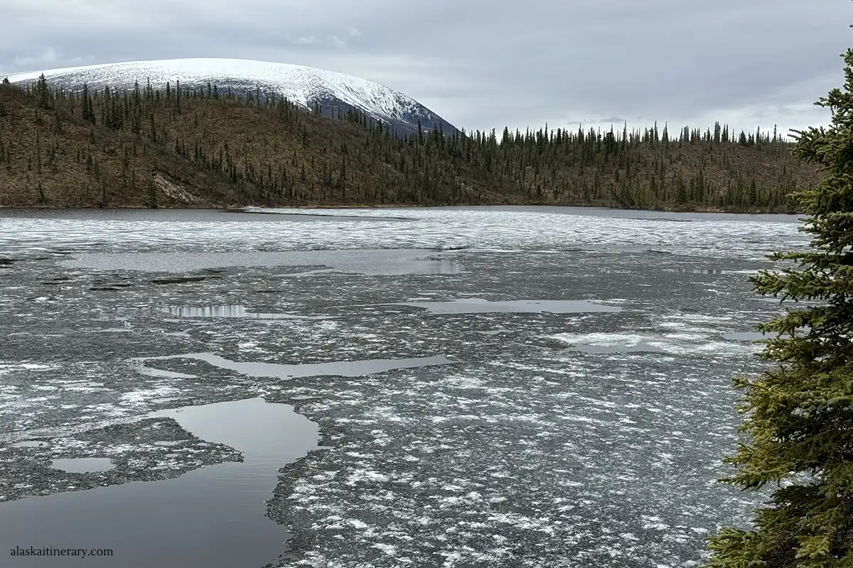
- Mile 21 – Kettle Lake. A scenic lake near the road. Great for reflections and birdwatching. Moose are sometimes seen here.
- Mile 24 – Rock Lake Pullout Another peaceful lake with a wide view of the mountains.
- Mile 27 – Reeve Field Airstrip. A small backcountry airstrip used by park staff and bush planes.
- Mile 28 – Lost Creek. Second creek crossing. May be muddy after rain. Use caution.
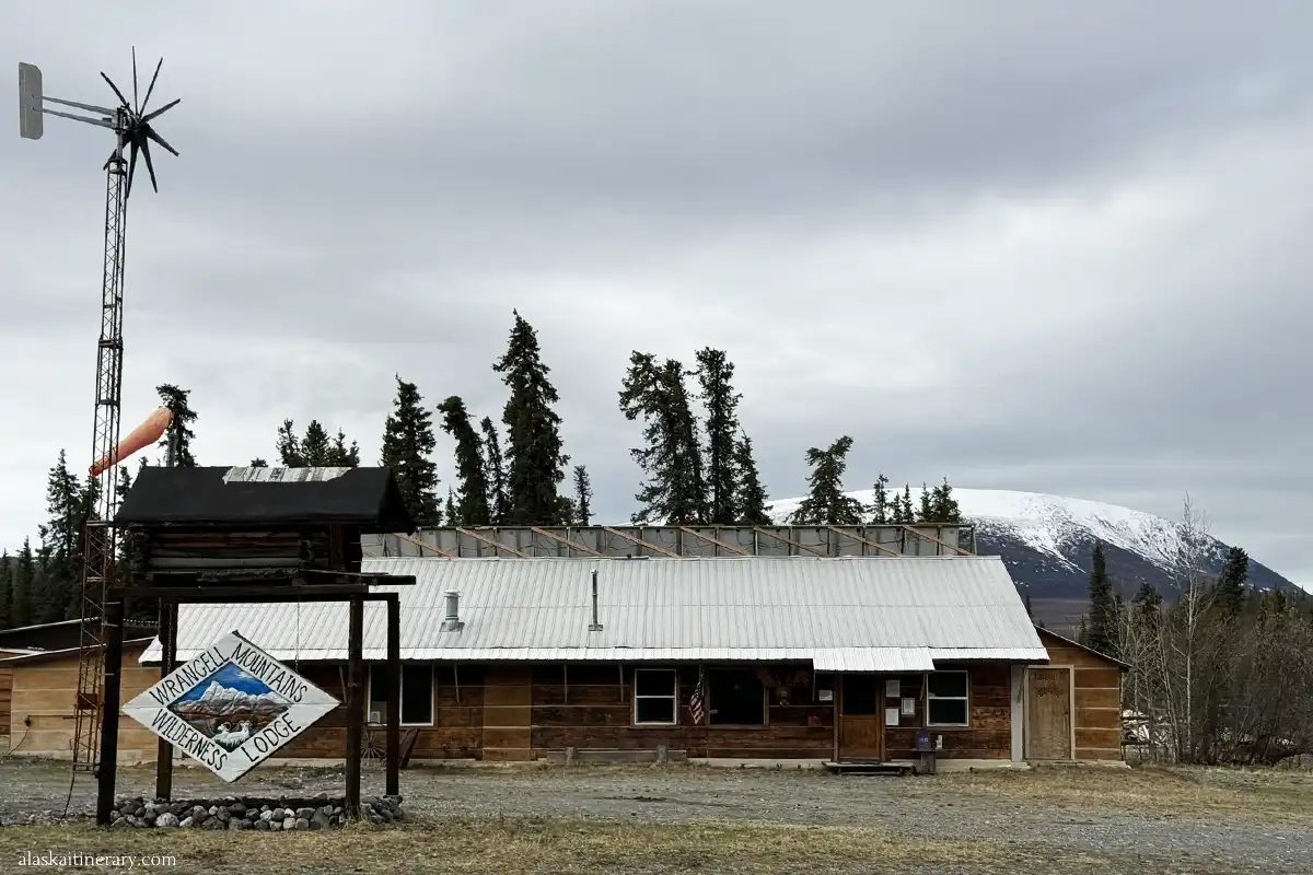
- Mile 28 – Wrangell Mountains Wilderness Lodge & Cabins.
- Mile 29 – Soda Creek. Third and final creek crossing. This one can be the deepest. If the water looks high, do not attempt to cross.
- Mile 36 – Nabesna Mine Area (Private Property). The old mine site is not open to visitors. Respect private property signs. Turn around if you reach this point unless you have permission.
- Mile 42 – End of Maintained Road.
Turnaround Tip
Most visitors turn around at Soda Creek (Mile 29) or near Mile 36. The road beyond that is narrow, overgrown, and may be washed out.
Camping Along Nabesna Road
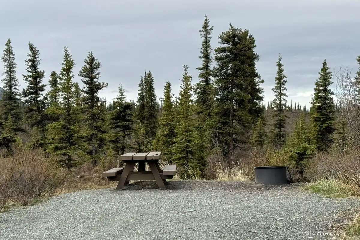
Camping along Nabesna Road is simple, free, and peaceful. There are no formal campgrounds. Instead, you’ll find several primitive campsites and pullouts with beautiful views and quiet surroundings.
Is camping allowed?
Yes. You can camp almost anywhere along the road. The National Park Service allows dispersed camping as long as you follow Leave No Trace guidelines.
What to expect
These are undeveloped sites. No hookups, and no water. Some have vault toilets, some have picnic tables and designated fire rings, but not all. You’ll need to be fully self-contained.
Best Camping Spots Along Nabesna Road
- Mile 6 – Rufus Creek Pullout
A small pullout near a creek. No facilities, but quiet and scenic. Good for vanlifers or tents. - Mile 18 – Twin Lakes Area
One of the best camping spots. Flat ground, mountain views, and access to a trail. You may share this area with others during summer weekends. - Mile 21 – Kettle Lake
Great views, birdwatching, and wildlife. Limited flat space but a peaceful stop for one vehicle or tent. - Mile 24 – Rock Lake
Another lakeside spot with room for a few vehicles. Quiet and scenic. No facilities. - Mile 28 – Soda Creek (before the crossing)
Nice wide pullout before the water. A good place to stop if you’re not planning to cross the creek.
Backcountry Camping
If you plan to leave the road and hike into the backcountry, you can camp almost anywhere. No permits are required for most areas, but it’s best to check with rangers. Always store food properly—this is bear country.
Camping Tips
- Bring plenty of water—there are no safe drinking sources
- Use a bear-proof food container or hang your food
- Pack out all trash and waste
- Expect mosquitoes—bring repellent
- Don’t block pullouts or trailheads
- Fires are discouraged—use a stove instead
Toilets
There are a few pit toilets along the road:
- Slana Ranger Station (Mile 0)
- Caribou Creek Trailhead (Mile 4)
- Twin Lakes (Mile 18)
These are basic but clean. Bring your own toilet paper, just in case.
The Best Trails and Outdoor Activities Along Nabesna Road
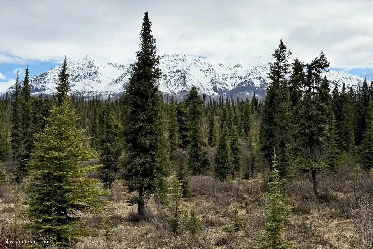
Nabesna Road offers great hiking for those who enjoy quiet trails and remote landscapes. There are no crowds here. Most trails are unmarked or follow old mining routes and game paths. You’ll need a good map, GPS, and solid boots.
Caribou Creek Trail (Mile 4)
This is the most popular hike along Nabesna Road. It starts near the Caribou Creek bridge and climbs steadily uphill.
- Length: About 3 miles one way
- Difficulty: Moderate to strenuous
- What to expect: Steep terrain, loose rocks, open views
- Highlights: Mountain scenery, great photography spots
- Tip: Start early to avoid heat and bring plenty of water
Skookum Volcano Trail (Mile 17.2)
This trail is a hidden gem. It follows a dry creek bed into a volcanic canyon.
- Length: About 4.2 miles round trip
- Difficulty: Moderate
- What to expect: Volcanic rock formations, no shade, some creek crossings
- Highlights: Unique geology, colorful rocks, open views
- Tip: Watch your footing and avoid during high water
Trail Creek and Lost Creek Routes (Miles 16 and 28)
These are not official trails but offer access into wide valleys and tundra slopes.
- No marked path—use a GPS
- Best for experienced hikers and backcountry travelers
- You’ll find open terrain, animal tracks, and peaceful views
- Watch for bears and carry bear spray
Twin Lakes Area (Mile 18)
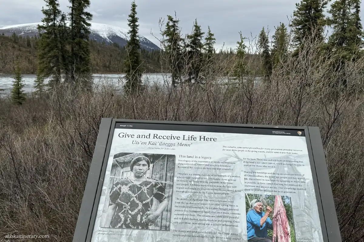
This isn’t a trail but is great for exploring. Walk along the lakeshore, look for birds, or just relax with a view.
Other Outdoor Activities Along Nabesna Road
- Wildlife Viewing. Watch for moose, caribou, foxes, bears, and Dall sheep. Early morning and late evening are best.
- Photography. Clear skies and mountain backdrops make this road perfect for landscape shots. Lakes offer great reflections. Fall colors in late August are stunning.
- Birdwatching. Lakes and creeks attract ducks, trumpeter swans, and eagles. Bring binoculars if you enjoy birding.
- Fishing. Some creeks may hold grayling or trout. You’ll need an Alaska fishing license. Check local regulations before casting.
- Backpacking and Off-Trail Adventures. If you’re prepared and experienced, you can go deeper into the wilderness. But know your route, carry a map, and pack extra supplies.
Final Thoughts
Nabesna Road is one of Alaska’s quietest and most underrated scenic drives. It’s remote, wild, and peaceful. You won’t find crowds, shops, or tour buses here. But you will find wide-open views, rugged mountains, and a true sense of wilderness.
It’s not for everyone. You need to be prepared. Bring supplies, check road conditions, and know your limits. But if you’re looking for solitude, scenery, and a slower pace, this road is worth the drive.
Whether you hike a trail, camp by a lake, or just take in the views from your car, Nabesna Road offers a real Alaska experience—untouched and unforgettable.
We hope this guide helps you plan a safe and amazing trip into this quiet corner of Wrangell-St. Elias. Let us know if you go—we’d love to hear your story.
Do You Like It? Pin It For Later!